2016
TQ0356 : Farmland south of the Tannery site, November
taken 7 years ago, near to Send, Surrey, England
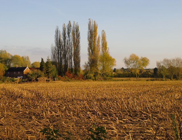
Farmland south of the Tannery site, November
The stubble in the foreground is the remains of a maize crop. I heard locally that this stretch of farmland is reckoned to be of poor quality. In the past there were gravel pits here, the present topsoil having been brought in from elsewhere.
 Map © Crown Copyright")
TIP: Click the map for more Large scale mapping
- Grid Square
- TQ0356, 86 images (more nearby 🔍)
- Photographer
- Stefan Czapski (more nearby)
- Date Taken
- Friday, 11 November, 2016 (more nearby)
- Submitted
- Tuesday, 15 November, 2016
- Subject Location
-
OSGB36:
 TQ 0317 5611 [10m precision]
WGS84: 51:17.6870N 0:31.3021W - Camera Location
-
OSGB36: TQ 0304 5629
- View Direction
- Southeast (about 135 degrees)