2016
NX1490 : Crossing The Water of Lendal
taken 7 years ago, near to Lendalfoot, South Ayrshire, Scotland
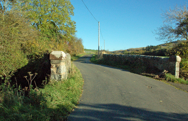
Crossing The Water of Lendal
Cundry Mill bridge takes its name from an old corn mill, the remains of which are hidden among the foliage on the left-hand side of this shot.
 Map © Crown Copyright")
TIP: Click the map for more Large scale mapping
- Grid Square
- NX1490, 10 images (more nearby 🔍)
- Photographer
- Mary and Angus Hogg (more nearby)
- Date Taken
- Tuesday, 1 November, 2016 (more nearby)
- Submitted
- Wednesday, 16 November, 2016
- Subject Location
-
OSGB36:
 NX 1436 9004 [10m precision]
WGS84: 55:10.1839N 4:54.9755W - Camera Location
-
OSGB36: NX 1433 9003
- View Direction
- East-northeast (about 67 degrees)