2016
NT2162 : Descending Turnhouse
taken 7 years ago, near to Silverburn, Midlothian, Scotland
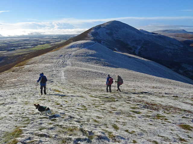
Descending Turnhouse
From the summit of Turnhouse Hill looking towards Carnethy Hill with East Cairn Hill visible at far right. A day for warm jackets.
 Map © Crown Copyright")
TIP: Click the map for more Large scale mapping
- Grid Square
- NT2162, 32 images (more nearby 🔍)
- Photographer
- Adam Ward (more nearby)
- Date Taken
- Friday, 18 November, 2016 (more nearby)
- Submitted
- Tuesday, 22 November, 2016
- Subject Location
-
OSGB36:
 NT 2118 6259 [10m precision]
WGS84: 55:51.0027N 3:15.6297W - Camera Location
-
OSGB36: NT 2125 6264
- View Direction
- Southwest (about 225 degrees)