2016
TQ4667 : Friar Road
taken 8 years ago, near to St Mary Cray, Bromley, England
This is 1 of 5 images, with title Friar Road in this square
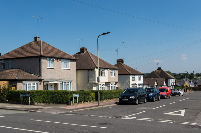
Friar Road
Part of an area south of Poverest Road developed before or after the Second World War, although exact timing is unclear: the 1944 Kent XVI NE 6" map based on 1938 revisions shows much of the area with housing shown in outline, whereas the 1946 London Sheet T also based on 1938 revisions still shows open countryside.
Most of the road names in the area have connections with Robin Hood, inspired by the name of an area of woodland called Robin Hood Shaw which was on part of the site.
Most of the road names in the area have connections with Robin Hood, inspired by the name of an area of woodland called Robin Hood Shaw which was on part of the site.
 Map © Crown Copyright")
TIP: Click the map for more Large scale mapping
- Grid Square
- TQ4667, 164 images (more nearby 🔍)
- Photographer
- Ian Capper (more nearby)
- Date Taken
- Wednesday, 17 August, 2016 (more nearby)
- Submitted
- Tuesday, 29 November, 2016
- Subject Location
-
OSGB36:
 TQ 464 676 [100m precision]
WGS84: 51:23.3199N 0:6.2429E - Camera Location
-
OSGB36: TQ 464 676
- View Direction
- East-northeast (about 67 degrees)