2016
SE2633 : Armley Park on a frosty morning
taken 7 years ago, 3 km from Headingley, Leeds, England
This is 1 of 12 images, with title starting with Armley Park in this square
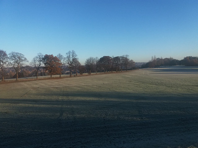
Armley Park on a frosty morning
No sports being played today!
Armley Park / Gotts Park, Leeds :: SE2733
A large open area among the otherwise densely built up area to the west of Armley, on the top of the scarp slope of Airedale. The western end is shown as Gotts (or Gott's) Park on maps, and the more formal gardens at the eastern end as Armley Park, but these names seem to be used interchangeably in local usage.
Between them is a golf course, formerly run by Leeds City Council but now a private operation, which uses the grade 2 listed Mansion as its clubhouse. In the middle is Redcote Lane that runs down to the River Aire and Leeds-Liverpool Canal.
See the Wiki entry at Link
 Map © Crown Copyright")
TIP: Click the map for more Large scale mapping
- Grid Square
- SE2633, 624 images (more nearby 🔍)
- Photographer
- Stephen Craven (more nearby)
- Date Taken
- Tuesday, 29 November, 2016 (more nearby)
- Submitted
- Tuesday, 29 November, 2016
- Subject Location
-
OSGB36:
 SE 267 339 [100m precision]
WGS84: 53:48.0701N 1:35.7202W - Camera Location
-
OSGB36: SE 266 338
- View Direction
- Northeast (about 45 degrees)