2016
SJ4534 : Cattle pasture, west of New House Farm
taken 8 years ago, near to Bettisfield, Wrexham/Wrecsam, Wales
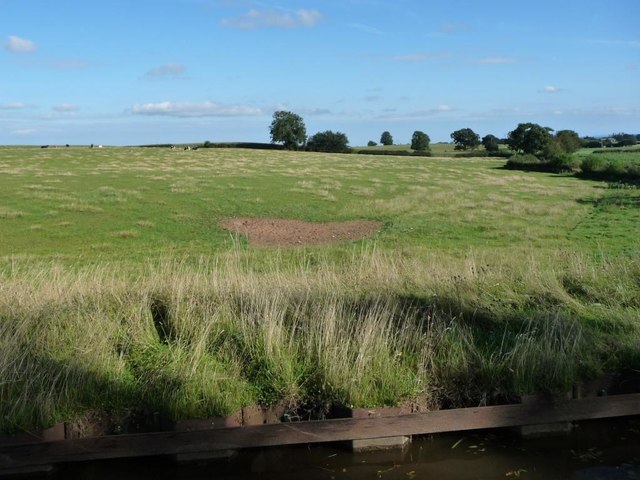
Cattle pasture, west of New House Farm
The crooked hedge to the right [south-east] marks the Wales / England border. Almost all of the image is in Wales.
 Map © Crown Copyright")
TIP: Click the map for more Large scale mapping
- Grid Square
- SJ4534, 36 images (more nearby 🔍)
- Photographer
- Christine Johnstone (more nearby)
- Date Taken
- Saturday, 17 September, 2016 (more nearby)
- Submitted
- Friday, 2 December, 2016
- Subject Location
-
OSGB36:
 SJ 4550 3490 [10m precision]
WGS84: 52:54.5251N 2:48.7090W - Camera Location
-
OSGB36: SJ 4547 3494
- View Direction
- Southeast (about 135 degrees)