2016
SO9669 : Springfield Avenue, Bromsgrove
taken 7 years ago, near to Aston Fields, Worcestershire, England
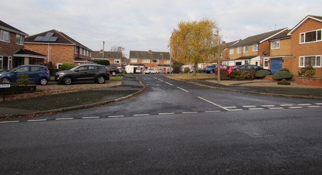
Springfield Avenue, Bromsgrove
Cul-de-sac viewed across Marlborough Avenue in the Aston Fields area of Bromsgrove.
 Map © Crown Copyright")
TIP: Click the map for more Large scale mapping
- Grid Square
- SO9669, 205 images (more nearby 🔍)
- Photographer
- Jaggery (more nearby)
- Date Taken
- Saturday, 3 December, 2016 (more nearby)
- Submitted
- Saturday, 3 December, 2016
- Subject Location
-
OSGB36:
 SO 9626 6951 [10m precision]
WGS84: 52:19.4205N 2:3.3778W - Camera Location
-
OSGB36: SO 9632 6948
- View Direction
- West-northwest (about 292 degrees)