2016
SS6115 : Field boundary above Crabdown Farm
taken 7 years ago, near to Riddlecombe, Devon, England
This is 1 of 2 images, with title Field boundary above Crabdown Farm in this square
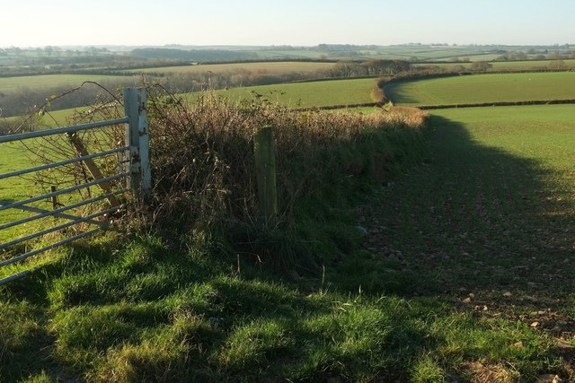
Field boundary above Crabdown Farm
Further up the lane to Burrington Moor than SS6115 : Field boundary above Crabdown Farm, and on the other side of it.
 Map © Crown Copyright")
TIP: Click the map for more Large scale mapping
- Grid Square
- SS6115, 15 images (more nearby 🔍)
- Photographer
- Derek Harper (more nearby)
- Date Taken
- Wednesday, 30 November, 2016 (more nearby)
- Submitted
- Saturday, 3 December, 2016
- Subject Location
-
OSGB36:
 SS 613 154 [100m precision]
WGS84: 50:55.2804N 3:58.4819W - Camera Location
-
OSGB36: SS 6140 1549
- View Direction
- Southwest (about 225 degrees)