2016
TM2694 : Autumnal oaks beside Nobbs' Lane
taken 7 years ago, near to Topcroft, Norfolk, England
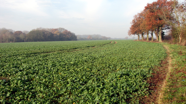
Autumnal oaks beside Nobbs' Lane
Nobbs' Lane, a public bridleway, turns off Nobbs' Corner, the crossroads where Hempnall and Topcroft parishes meet. It is named after a brick maker, Richard Nobbs, whose suicide in 1785 is recorded in the "Norwich Mercury" on 4 June of that year. When the skeletal remains of his son were found half-buried in a ditch at Tasburgh and he found himself being suspected of the boy's murder, he hanged himself in Pope's Wood > Link. Being a 'self-murderer', Nobbs was denied burial in consecrated ground and buried by the crossroads instead, which until then had been known as Sisland Cross.
 Map © Crown Copyright")
TIP: Click the map for more Large scale mapping
- Grid Square
- TM2694, 34 images (more nearby 🔍)
- Photographer
- Evelyn Simak (more nearby)
- Date Taken
- Tuesday, 6 December, 2016 (more nearby)
- Submitted
- Tuesday, 6 December, 2016
- Subject Location
-
OSGB36:
 TM 2644 9404 [10m precision]
WGS84: 52:29.8335N 1:20.0691E - Camera Location
-
OSGB36: TM 2645 9401
- View Direction
- North-northwest (about 337 degrees)