2016
SJ5244 : Llangollen Canal, near the Land of Canaan
taken 8 years ago, near to Grindley Brook, Shropshire, England
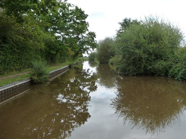
Llangollen Canal, near the Land of Canaan
Looking north-east, between Jackson's Bridge [No 26] and Povey's Lock.
 Map © Crown Copyright")
TIP: Click the map for more Large scale mapping
- Grid Square
- SJ5244, 20 images (more nearby 🔍)
- Photographer
- Christine Johnstone (more nearby)
- Date Taken
- Tuesday, 20 September, 2016 (more nearby)
- Submitted
- Friday, 9 December, 2016
- Subject Location
-
OSGB36:
 SJ 5292 4406 [10m precision]
WGS84: 52:59.5074N 2:42.1698W - Camera Location
-
OSGB36: SJ 5291 4404
- View Direction
- Northeast (about 45 degrees)