2007
SU0848 : Honeydown Copse
taken 17 years ago, 4 km E of Westdown Camp, Wiltshire, England
This is 1 of 2 images, with title Honeydown Copse in this square
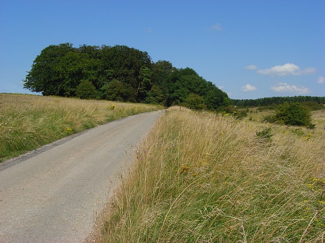
Honeydown Copse
The track is the byway that provides a through route (when the MOD aren't firing) between the Shrewton and Urchfont areas.
 Map © Crown Copyright")
TIP: Click the map for more Large scale mapping
- Grid Square
- SU0848, 5 images (more nearby 🔍)
- Photographer
- Andrew Smith (more nearby)
- Date Taken
- Saturday, 11 August, 2007 (more nearby)
- Submitted
- Sunday, 12 August, 2007
- Subject Location
-
OSGB36:
 SU 080 481 [100m precision]
WGS84: 51:13.9219N 1:53.2082W - Camera Location
-
OSGB36: SU 081 480
- View Direction
- Northwest (about 315 degrees)