2016
SJ8849 : Entering Sneyd Green on the A53
taken 7 years ago, near to Burslem, Stoke-on-Trent, England
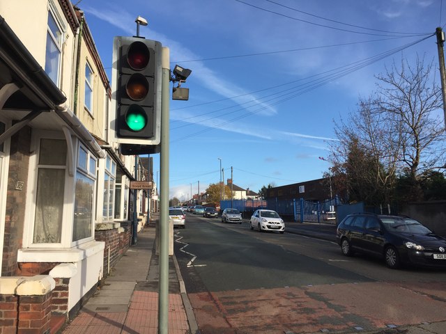
Entering Sneyd Green on the A53
The A53 is here called Leek New Road.
A53 road
The A53 runs between Buxton, in the Derbyshire Peak District, and Shrewsbury. Halfway between the two lies the urban sprawl of Stoke-on-Trent, neatly balancing the rural (though very different) landscapes north-east towards Buxton and south-west towards Shrewsbury.
A detailed SABRE article about the road is at Link.
 Map © Crown Copyright")
TIP: Click the map for more Large scale mapping
- Grid Square
- SJ8849, 51 images (more nearby 🔍)
- Photographer
- Jonathan Hutchins (more nearby)
- Date Taken
- Saturday, 19 November, 2016 (more nearby)
- Submitted
- Friday, 16 December, 2016
- Subject Location
-
OSGB36:
 SJ 8805 4929 [10m precision]
WGS84: 53:2.4448N 2:10.7807W - Camera Location
-
OSGB36: SJ 88038 49283
- View Direction
- Northeast (about 45 degrees)