2005
SE4497 : Lane End, Osmotherley
taken 19 years ago, near to Ellerbeck, North Yorkshire, England
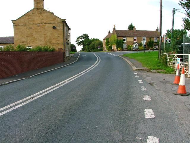
Lane End, Osmotherley
The 1987 edition of the OS map says this tiny hamlet on the old A19 has two public houses. Both these have now been converted into private residences.
Looking north on the old A19 with Osmotherley off to the right.
Looking north on the old A19 with Osmotherley off to the right.
 Map © Crown Copyright")
TIP: Click the map for more Large scale mapping
- Grid Square
- SE4497, 19 images (more nearby 🔍)
- Photographer
- Mick Garratt (more nearby)
- Date Taken
- Sunday, 11 September, 2005 (more nearby)
- Submitted
- Sunday, 11 September, 2005
- Subject Location
-
OSGB36:
 SE 442 971 [100m precision]
WGS84: 54:22.0503N 1:19.2729W