2016
SD7167 : Clapham Woods Farmhouse
taken 7 years ago, near to Keasden, North Yorkshire, England
This is 1 of 3 images, with title starting with Clapham Woods Farm in this square
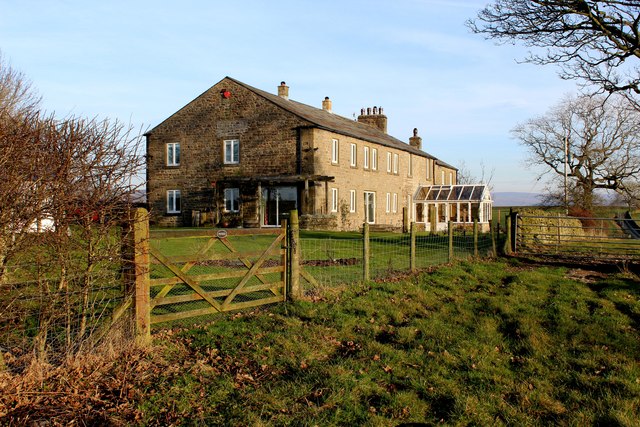
Clapham Woods Farmhouse
The definitive map marks this as Clapham Wood Farmhouse, although the building now appears to be a private residence
 Map © Crown Copyright")
TIP: Click the map for more Large scale mapping
- Grid Square
- SD7167, 23 images (more nearby 🔍)
- Photographer
- Chris Heaton (more nearby)
- Date Taken
- Wednesday, 14 December, 2016 (more nearby)
- Submitted
- Sunday, 18 December, 2016
- Subject Location
-
OSGB36:
 SD 7156 6738 [10m precision]
WGS84: 54:6.0911N 2:26.1847W - Camera Location
-
OSGB36: SD 7154 6736
- View Direction
- Northeast (about 45 degrees)