1998
NO1098 : Snowed-up burn course below A'Chioch of Beinn A'Bhuird
taken 26 years ago, near to South Top [hill or Mountain], Aberdeenshire, Great Britain
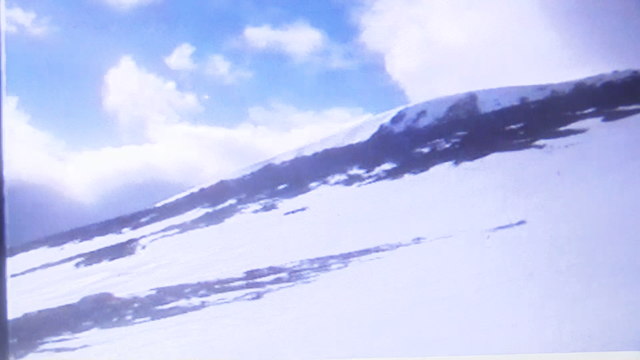
Snowed-up burn course below A'Chioch of Beinn A'Bhuird
Quality affected by abstraction from 18-year old video tape but cliffs of Beinn A'Bhuird South Top are clear high above to the south-west.
 Map © Crown Copyright")
TIP: Click the map for more Large scale mapping
- Grid Square
- NO1098, 4 images (more nearby 🔍)
- Photographer
- ian shiell (more nearby)
- Date Taken
- Thursday, 19 March, 1998 (more nearby)
- Submitted
- Monday, 19 December, 2016
- Subject Location
-
OSGB36:
 NO 105 987 [100m precision]
WGS84: 57:4.2478N 3:28.5766W - Camera Location
-
OSGB36: NO 106 987
- View Direction
- Southwest (about 225 degrees)