2016
SP3177 : Benchmark on #47 Earlsdon Street
taken 8 years ago, near to Earlsdon, Coventry, England
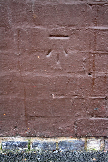
Benchmark on #47 Earlsdon Street
Ordnance Survey cut mark benchmark described on the Bench Mark Database at Link
 Map © Crown Copyright")
TIP: Click the map for more Large scale mapping
- Grid Square
- SP3177, 169 images (more nearby 🔍)
- Photographer
- Roger Templeman (more nearby)
- Date Taken
- Tuesday, 3 May, 2016 (more nearby)
- Submitted
- Friday, 23 December, 2016
- Subject Location
-
OSGB36:
 SP 3189 7794 [10m precision]
WGS84: 52:23.9131N 1:31.9643W - Camera Location
-
OSGB36: SP 3189 7794
- View Direction
- Southwest (about 225 degrees)