2016
SJ3231 : Ordnance Survey Flush Bracket G3036
taken 7 years ago, near to Whittington, Shropshire, England
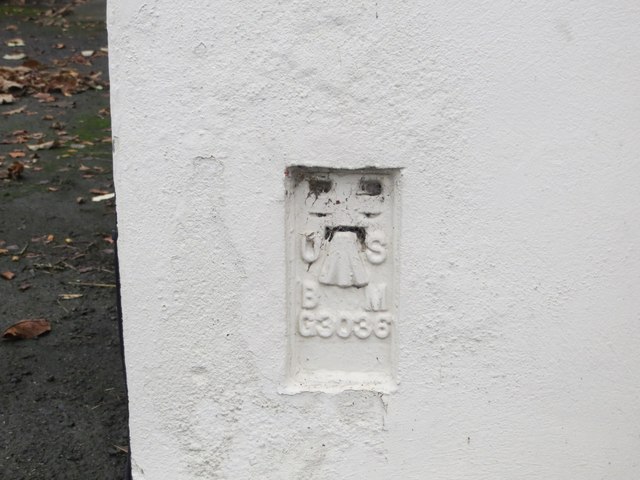
Ordnance Survey Flush Bracket G3036
This can be found on the wall of a building in Ellesmere Road (A495), Whittington.
For more detail see : Link
For more detail see : Link
 Map © Crown Copyright")
TIP: Click the map for more Large scale mapping
- Grid Square
- SJ3231, 130 images (more nearby 🔍)
- Photographer
- Peter Wood (more nearby)
- Date Taken
- Friday, 9 December, 2016 (more nearby)
- Submitted
- Sunday, 25 December, 2016
- Subject Location
-
OSGB36:
 SJ 32831 31447 [1m precision]
WGS84: 52:52.5768N 2:59.9671W