2016

TL4166 : Busway cycle path

taken 7 years ago, near to Westwick, Cambridgeshire, England
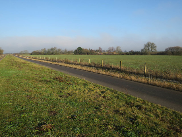
Busway cycle path
Busway cycle path

Creative Commons Licence [Some Rights Reserved]   © Copyright Hugh Venables and licensed for reuse under this Creative Commons Licence.
Geographical Context: Paths Farm, Fishery, Market Gardening Cambridge: Guided Busway other tags: Arable Land Bridleway National Cycle Route 51 Click a tag, to view other nearby images.
This photo is linked from: Automatic Clusters: · Cycle Path [4] ·
1:50,000 Modern Day Landranger(TM) Map © Crown Copyright
+
+
1:50,000 Modern Day Landranger(TM) Map © Crown Copyright
TIP: Click the map for more Large scale mapping
Grid Square
TL4166, 166 images   (more nearby 🔍)
Photographer
Hugh Venables   (more nearby)
Date Taken
Wednesday, 28 December, 2016   (more nearby)
Submitted
Thursday, 29 December, 2016
Subject Location
OSGB36: geotagged! TL 4173 6609 [10m precision]
WGS84: 52:16.4819N 0:4.5531E
Camera Location
OSGB36: geotagged! TL 4173 6602
View Direction
NORTH (about 0 degrees)
Clickable map
+
NW N NE
W Go E
SW S SE
Image Type (about): geograph 
This page has been viewed about 13 times
You are not logged in login | register