2015
SJ5142 : Maize field and bridleway west of Whitchurch, Shropshire
taken 9 years ago, near to Grindley Brook, Shropshire, England
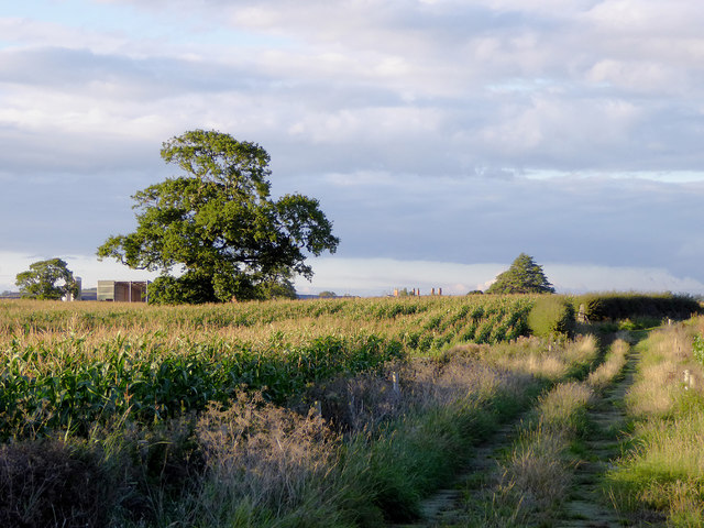
Maize field and bridleway west of Whitchurch, Shropshire
Looking towards Bubney Farm.
 Map © Crown Copyright")
TIP: Click the map for more Large scale mapping
- Grid Square
- SJ5142, 6 images (more nearby 🔍)
- Photographer
- Roger D Kidd (more nearby)
- Date Taken
- Thursday, 17 September, 2015 (more nearby)
- Submitted
- Monday, 2 January, 2017
- Subject Location
-
OSGB36:
 SJ 5186 4215 [10m precision]
WGS84: 52:58.4717N 2:43.1001W - Camera Location
-
OSGB36: SJ 5187 4210
- View Direction
- North-northwest (about 337 degrees)