2017
TQ2715 : Path junction south of Wanbarrow Farm
taken 7 years ago, near to Albourne, West Sussex, England
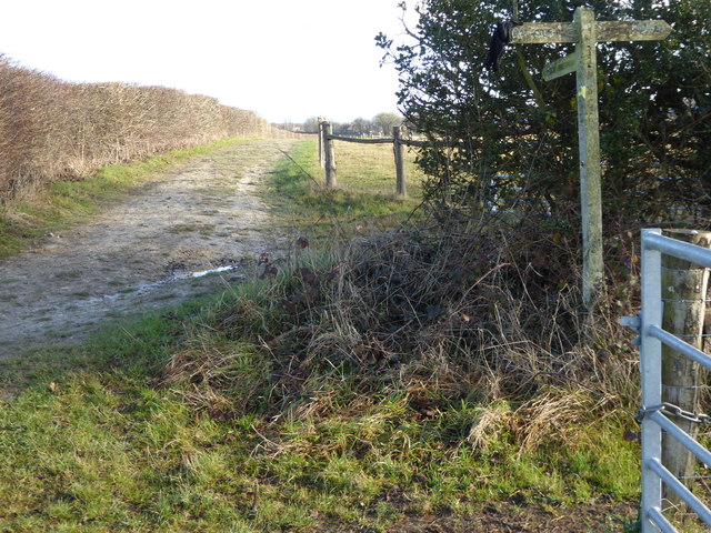
Path junction south of Wanbarrow Farm
 Map © Crown Copyright")
TIP: Click the map for more Large scale mapping
- Grid Square
- TQ2715, 69 images (more nearby 🔍)
- Photographer
- Shazz (more nearby)
- Date Taken
- Monday, 2 January, 2017 (more nearby)
- Submitted
- Monday, 2 January, 2017
- Subject Location
-
OSGB36:
 TQ 2717 1560 [10m precision]
WGS84: 50:55.5509N 0:11.5154W - Camera Location
-
OSGB36: TQ 2713 1561
- View Direction
- East-southeast (about 112 degrees)