2016
TM4591 : The Waveney - Worlingham and Aldeby
taken 7 years ago, near to Aldeby, Norfolk, England
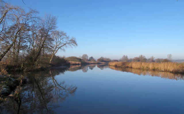
The Waveney - Worlingham and Aldeby
Taken from the Worlingham (Suffolk) bank of the Waveney with Aldeby bank (Norfolk) on the right hand side of the picture.
 Map © Crown Copyright")
TIP: Click the map for more Large scale mapping
- Grid Square
- TM4591, 80 images (more nearby 🔍)
- Photographer
- Roger Jones (more nearby)
- Date Taken
- Wednesday, 28 December, 2016 (more nearby)
- Submitted
- Monday, 2 January, 2017
- Subject Location
-
OSGB36:
 TM 4505 9156 [10m precision]
WGS84: 52:28.0163N 1:36.3754E - Camera Location
-
OSGB36: TM 45138 91498
- View Direction
- Northwest (about 315 degrees)