2017
SD5349 : Lower Slopes of Harrison End Fell
taken 7 years ago, near to Oakenclough, Lancashire, England
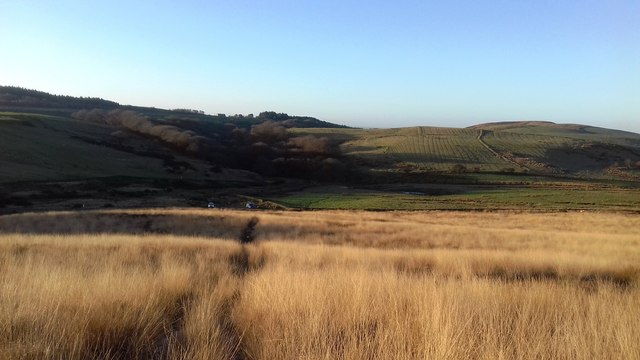
Lower Slopes of Harrison End Fell
Towards Grizedale Bridge
 Map © Crown Copyright")
TIP: Click the map for more Large scale mapping
- Grid Square
- SD5349, 36 images (more nearby 🔍)
- Photographer
- Anthony Parkes (more nearby)
- Date Taken
- Monday, 2 January, 2017 (more nearby)
- Submitted
- Wednesday, 4 January, 2017
- Subject Location
-
OSGB36:
 SD 5361 4915 [10m precision]
WGS84: 53:56.1826N 2:42.4862W - Camera Location
-
OSGB36: SD 5378 4928
- View Direction
- Southwest (about 225 degrees)