2017
SZ0795 : Northbourne: uphill on footpath E42
taken 7 years ago, near to Ensbury, Bournemouth, Christchurch & Poole, England
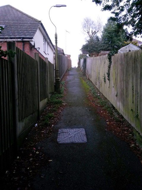
Northbourne: uphill on footpath E42
This public footpath heads quite steeply uphill, as can be gauged from the fence panels on the left, from Howeth Road to Hill View Road.
See SZ0795 : Northbourne: a little way down footpath E42 for the reciprocal downhill view, and SZ0795 : Northbourne: footpath E42 reaches Howeth Road for the view behind us.
See SZ0795 : Northbourne: a little way down footpath E42 for the reciprocal downhill view, and SZ0795 : Northbourne: footpath E42 reaches Howeth Road for the view behind us.
Public rights of way in Bournemouth
A series of pictures documenting the public rights of way in the borough of Bournemouth. The pictures of the rights of way all have links to the next picture on the same route, in each direction.
The rights of way are all documented, in numerical order, in this article:
Link
 Map © Crown Copyright")
TIP: Click the map for more Large scale mapping
- Grid Square
- SZ0795, 171 images (more nearby 🔍)
- Photographer
- Chris Downer (more nearby)
- Date Taken
- Saturday, 7 January, 2017 (more nearby)
- Submitted
- Sunday, 8 January, 2017
- Subject Location
-
OSGB36:
 SZ 0769 9562 [10m precision]
WGS84: 50:45.6074N 1:53.5403W - Camera Location
-
OSGB36: SZ 0768 9562
- View Direction
- East-northeast (about 67 degrees)