2016
TQ6140 : A228 at its junction with the former A21
taken 8 years ago, near to Pembury, Kent, England
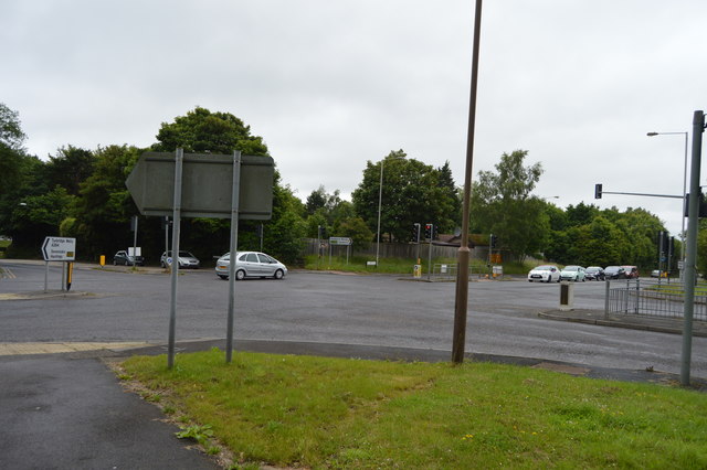
A228 at its junction with the former A21
The A228 runs 31 miles from the Isle of Grain south westwards to the A21 at Pembury TQ6140 : Roundabout where the A228 becomes the A264.
Fuller route see Link
See other images of A228 Road
Fuller route see Link
See other images of A228 Road
 Map © Crown Copyright")
TIP: Click the map for more Large scale mapping
- Grid Square
- TQ6140, 152 images (more nearby 🔍)
- Photographer
- N Chadwick (more nearby)
- Date Taken
- Friday, 1 July, 2016 (more nearby)
- Submitted
- Monday, 9 January, 2017
- Subject Location
-
OSGB36:
 TQ 6182 4091 [10m precision]
WGS84: 51:8.6751N 0:18.7206E - Camera Location
-
OSGB36: TQ 6184 4090
- View Direction
- Northwest (about 315 degrees)