2017
NZ0330 : Forest road on slope of Black Hill
taken 7 years ago, 4 km W of Redford, County Durham, England
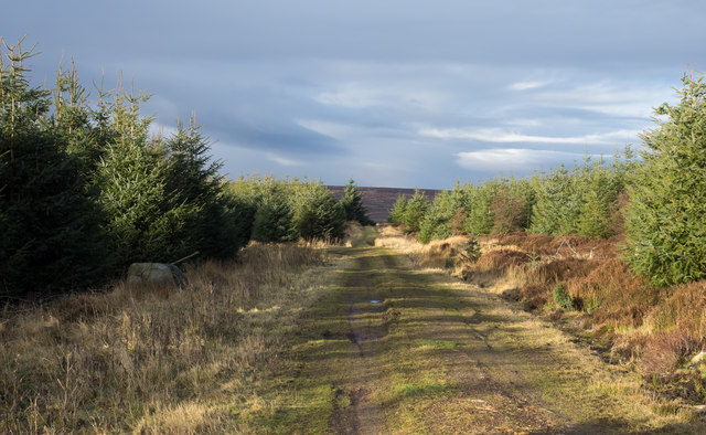
Forest road on slope of Black Hill
Black Hill is a modest rise, once moorland but now with its highest point just within Hamsterley Forest, lying to the right of the image. The moorland edge lies just ahead along the road.
 Map © Crown Copyright")
TIP: Click the map for more Large scale mapping
- Grid Square
- NZ0330, 6 images (more nearby 🔍)
- Photographer
- Trevor Littlewood (more nearby)
- Date Taken
- Sunday, 8 January, 2017 (more nearby)
- Submitted
- Wednesday, 11 January, 2017
- Subject Location
-
OSGB36:
 NZ 0333 3053 [10m precision]
WGS84: 54:40.1900N 1:56.9932W - Camera Location
-
OSGB36: NZ 0337 3043
- View Direction
- North-northwest (about 337 degrees)