2007
SN6925 : Junction
taken 17 years ago, near to Pant-Meredith, Carmarthenshire/Sir Gaerfyrddin, Wales
Junction
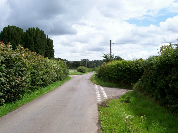
These staggered road junctions are by Pant Meredith, the house hidden behind the tall conifers. The road at this point forms the boundary of the Brecon Beacons National Park.
 Map © Crown Copyright")
TIP: Click the map for more Large scale mapping
- Grid Square
- SN6925, 13 images (more nearby 🔍)
- Photographer
- Jonathan Wilkins (more nearby)
- Date Taken
- Friday, 27 July, 2007 (more nearby)
- Submitted
- Tuesday, 14 August, 2007
- Subject Location
-
OSGB36:
 SN 698 254 [100m precision]
WGS84: 51:54.7457N 3:53.5797W - Camera Location
-
OSGB36: SN 698 254
- View Direction
- EAST (about 90 degrees)