2016
TQ5338 : Crockers Hatch Corner
taken 8 years ago, near to Langton Green, Kent, England
This is 1 of 2 images, with title Crockers Hatch Corner in this square
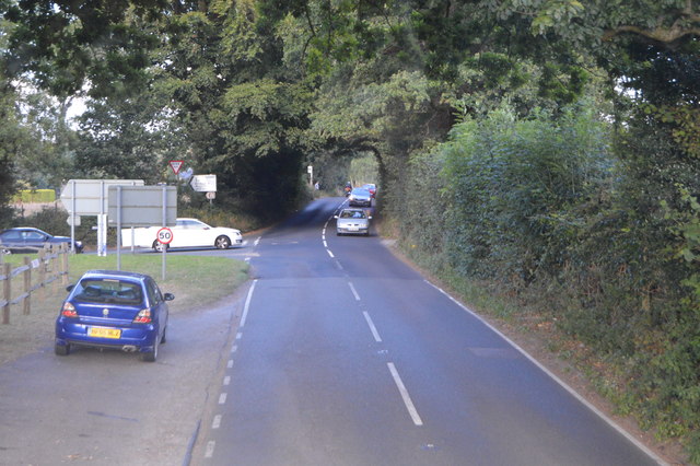
Crockers Hatch Corner
B2110 Road :: TQ5136
The B2110 runs 25 miles from Langton Green TQ5338 : Crockers Hatch Corner, west of Tunbridge Wells, to Lower Beeding. It skirts the northern edge of the Ashdown Forest. It runs through the villages of Groombridge, Hartfield, Withyham and Coleman's Hatch, then Hand Cross, Turners Hill and East Grinstead.
Link
A264 Road
The A264 is an east-west road that runs 28 miles from Pembury in West Kent TQ6140 : Roundabout where the A228 becomes the A264 to Five Oaks in West Sussex. Travels via Tunbridge Wells, East Grinstead, Crawley & Horsham.
Link
 Map © Crown Copyright")
TIP: Click the map for more Large scale mapping
- Grid Square
- TQ5338, 78 images (more nearby 🔍)
- Photographer
- N Chadwick (more nearby)
- Date Taken
- Wednesday, 31 August, 2016 (more nearby)
- Submitted
- Wednesday, 18 January, 2017
- Subject Location
-
OSGB36:
 TQ 5372 3887 [10m precision]
WGS84: 51:7.7092N 0:11.7261E - Camera Location
-
OSGB36: TQ 5369 3883
- View Direction
- Northeast (about 45 degrees)