TG4500 : Birches on the western edge of Fritton Wood
taken 7 years ago, near to St Olaves, Norfolk, England
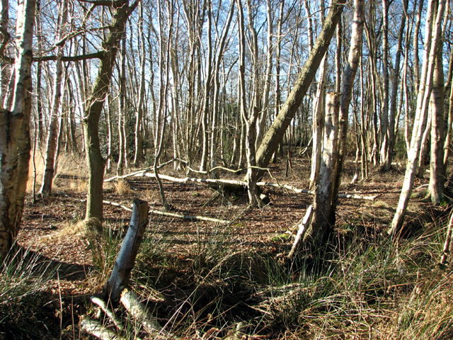
Fritton Wood, also known as Waveney Forest, is a privately owned woodland covering an area of 290.45 acres. It is bounded by the village of Fritton in the east, the A143 (Beccles Road) in the south and the River Waveney in the west, and traversed by many permissive paths and bridleways.
During WW2 the wood, mainly heathland at the time, was occupied by a US army infantry training camp and a designated halt on the East Suffolk mainline was used by the Royal Navy for unloading munitions associated with the activities at Fritton Lake where American, British and Canadian soldiers were instructed in the use of amphibious tanks > Link. For more information see > Link.
Until 1960, the forest was traversed by the East Suffolk railway line > Link.
 Map © Crown Copyright")
- Grid Square
- TG4500, 68 images (more nearby 🔍)
- Photographer
- Evelyn Simak (more nearby)
- Date Taken
- Friday, 20 January, 2017 (more nearby)
- Submitted
- Friday, 20 January, 2017
- Subject Location
-
OSGB36:
 TG 4557 0038 [10m precision]
WGS84: 52:32.7503N 1:37.2240E - Camera Location
-
OSGB36: TG 4562 0038
- View Direction
- WEST (about 270 degrees)