2017
NS5962 : Disused land between the railway and motorway
taken 7 years ago, near to Rutherglen, Glasgow, Scotland
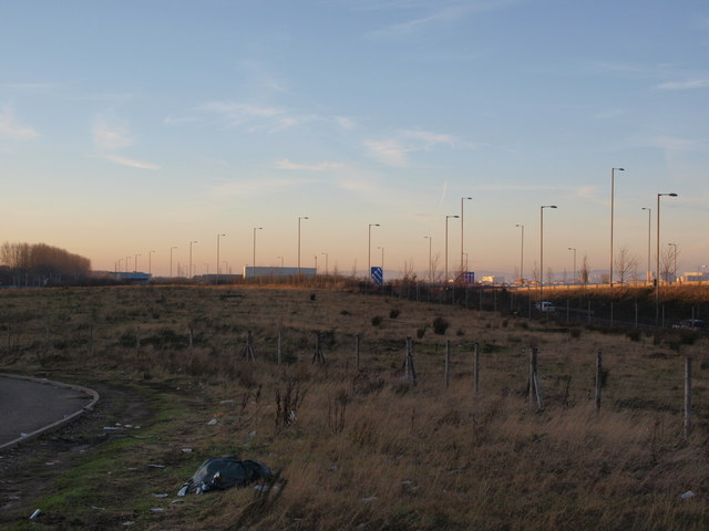
Disused land between the railway and motorway
The tall lampposts indicate the line of the M74 motorway.
 Map © Crown Copyright")
TIP: Click the map for more Large scale mapping
- Grid Square
- NS5962, 52 images (more nearby 🔍)
- Photographer
- Alec MacKinnon (more nearby)
- Date Taken
- Saturday, 21 January, 2017 (more nearby)
- Submitted
- Saturday, 21 January, 2017
- Subject Location
-
OSGB36:
 NS 5949 6283 [10m precision]
WGS84: 55:50.2901N 4:14.7165W - Camera Location
-
OSGB36: NS 5971 6273
- View Direction
- West-northwest (about 292 degrees)