SP0575 : Stile on North Worcestershire Path, near Forhill, Worcs
taken 7 years ago, near to Weatheroak Hill, Worcestershire, England
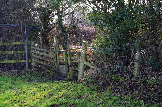
SP0575 : Stile on North Worcestershire Path, near Forhill, Worcs.
The North Worcestershire Path was created in the 1980's and is a relatively short long distance path. Originally it ran 27 miles (43 km) from the Kingsford Country Park near Kinver to Majors Green (near Shirley) on the outskirts of Birmingham. At some point after 1997 the route was altered and this resulted in an extra ten miles being added at the beginning. So it now starts in the town of Bewdley but still passes through Kingsford Country Park. This makes a lot of sense and adds a lot of interest to the walk but not everybody has woken up to the fact that it has been extended, so a lot of the information around, particularly on the internet, is out of date. When I ordered a small booklet from Worcestershire County Council in January 2015 I received an edition dating from August 1997 which makes no mention of the extension. I subsequently found that a later edition with the extended route was on sale in some bookshops. If, as recommended, you do the walk in short sections, then at some places car parking can be a real problem and you may find you need to park some distance from the walk. I cant really recommend reliance on public transport, at least for the earlier part of the route, as the bus services either dont exist or are infrequent. Recently they have got even worse. There are some sections of the walk which use public roads.
 Map © Crown Copyright")
- Grid Square
- SP0575, 75 images (more nearby 🔍)
- Photographer
- P L Chadwick (more nearby)
- Date Taken
- Saturday, 17 December, 2016 (more nearby)
- Submitted
- Sunday, 22 January, 2017
- Subject Location
-
OSGB36:
 SP 050 757 [100m precision]
WGS84: 52:22.8074N 1:55.6518W - Camera Location
-
OSGB36: SP 050 757
- View Direction
- South-southeast (about 157 degrees)