2005
SP1042 : Honeybourne Grounds
taken 19 years ago, near to Honeybourne, Worcestershire, England
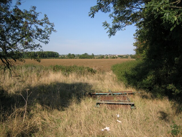
Honeybourne Grounds
Looking north-east from the Bretforton to Weston-sub-Edge road
 Map © Crown Copyright")
TIP: Click the map for more Large scale mapping
- Grid Square
- SP1042, 19 images (more nearby 🔍)
- Photographer
- Dave Bushell (more nearby)
- Date Taken
- Monday, 12 September, 2005 (more nearby)
- Submitted
- Monday, 12 September, 2005
- Subject Location
-
OSGB36:
 SP 10 42 [1000m precision]
WGS84: 52:4.8456N 1:50.8916W