2016
NZ1866 : Westerhope summit area
taken 7 years ago, near to Newburn, Newcastle Upon Tyne, England
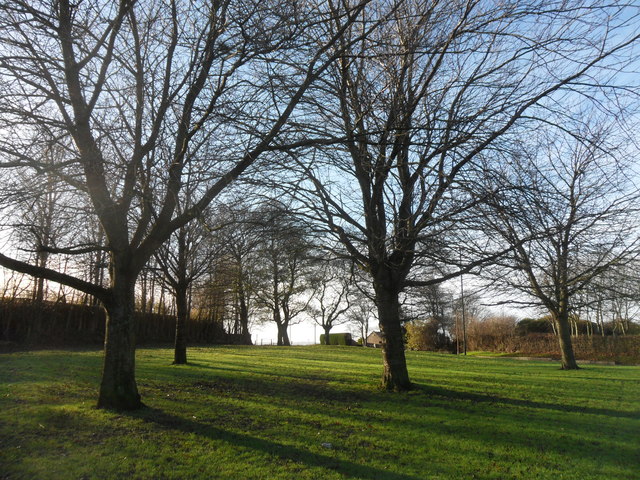
Westerhope summit area
The highest point in the Metropolitan District of Newcastle upon Tyne.
Westerhope is the name given by the Database of British and Irish Hills to the summit, and by OS to the nearby trig pillar NZ1866 : Trig pillar in a back garden. Westerhope village lies about half a mile to the north of the summit and was the name adopted by the Northern Allotment Society for the village in 1893, as this was to be the hope of the west.
The Scout Associations House on the Hill NZ1866 : 'House on the Hill', Hillhead Road on Hillhead Road and the reservoir was originally shown on the six inch map as a farmhouse named Denton Hill Head and probably predates the village of Westerhope, although Denton Hill Head is no longer used locally.
 Map © Crown Copyright")
TIP: Click the map for more Large scale mapping
- Grid Square
- NZ1866, 39 images (more nearby 🔍)
- Photographer
- Anthony Foster (more nearby)
- Date Taken
- Saturday, 17 December, 2016 (more nearby)
- Submitted
- Sunday, 29 January, 2017
- Subject Location
-
OSGB36:
 NZ 1881 6691 [10m precision]
WGS84: 54:59.7851N 1:42.4510W - Camera Location
-
OSGB36: NZ 1883 6693
- View Direction
- Southwest (about 225 degrees)