2007
NX5686 : The Polharrow Burn, Forrest Estate
taken 17 years ago, 3 km from Castlemaddy, Dumfries And Galloway, Scotland
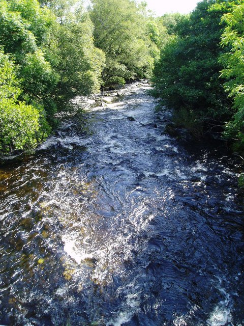
The Polharrow Burn, Forrest Estate.
Picture taken from the bridge on the forest road beyond the Estate Offices.
 Map © Crown Copyright")
TIP: Click the map for more Large scale mapping
- Grid Square
- NX5686, 5 images (more nearby 🔍)
- Photographer
- Bob Peace (more nearby)
- Date Taken
- Wednesday, 15 August, 2007 (more nearby)
- Submitted
- Wednesday, 15 August, 2007
- Subject Location
-
OSGB36:
 NX 564 865 [100m precision]
WGS84: 55:9.1280N 4:15.2661W - Camera Location
-
OSGB36: NX 563 865
- View Direction
- East-southeast (about 112 degrees)