2016
ST8165 : Fields below Monkton Farleigh
taken 8 years ago, near to Monkton Farleigh, Wiltshire, England
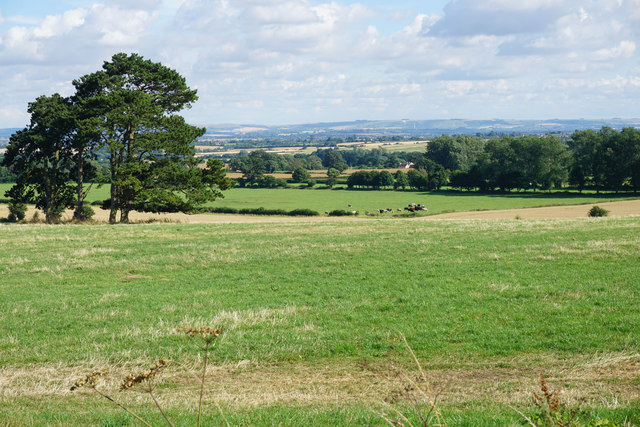
Fields below Monkton Farleigh
The fields are presumably linked to Manor Farm. On the skyline is the Westbury White Horse.
 Map © Crown Copyright")
TIP: Click the map for more Large scale mapping
- Grid Square
- ST8165, 5 images (more nearby 🔍)
- Photographer
- Bill Boaden (more nearby)
- Date Taken
- Wednesday, 27 July, 2016 (more nearby)
- Submitted
- Sunday, 5 February, 2017
- Subject Location
-
OSGB36:
 ST 8107 6587 [10m precision]
WGS84: 51:23.4930N 2:16.4071W - Camera Location
-
OSGB36: ST 8100 6599
- View Direction
- South-southeast (about 157 degrees)