2017
SO8382 : Staffordshire Way on Kinver Edge
taken 7 years ago, near to Kingsford, Worcestershire, England
This is 1 of 2 images, with title Staffordshire Way on Kinver Edge in this square
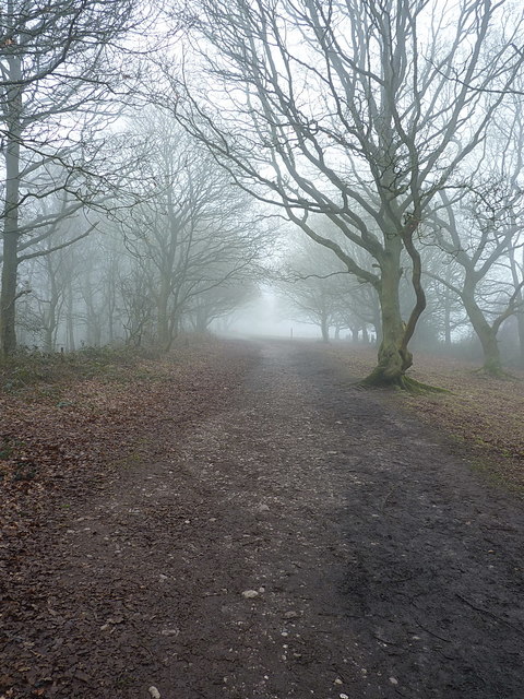
Staffordshire Way on Kinver Edge
A well used footpath across the top of Kinver Edge.
 Map © Crown Copyright")
TIP: Click the map for more Large scale mapping
- Grid Square
- SO8382, 108 images (more nearby 🔍)
- Photographer
- Richard Law (more nearby)
- Date Taken
- Sunday, 5 February, 2017 (more nearby)
- Submitted
- Thursday, 9 February, 2017
- Subject Location
-
OSGB36:
 SO 8315 8283 [10m precision]
WGS84: 52:26.5904N 2:14.9593W - Camera Location
-
OSGB36: SO 83181 82863
- View Direction
- Southwest (about 225 degrees)