2007
SE9296 : Unmapped forestry road in Langdale Forest
taken 17 years ago, 4 km W of Harwood Dale, North Yorkshire, England
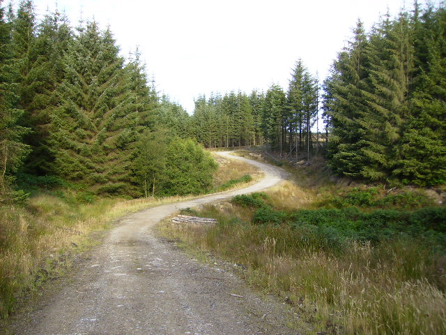
Unmapped forestry road in Langdale Forest
This section of the forestry road system in Langdale Forest is relatively new. It was not mapped in the latest Ordnance Survey Landranger and Outdoor Leisure maps that were available in 2007.
 Map © Crown Copyright")
TIP: Click the map for more Large scale mapping
- Grid Square
- SE9296, 5 images (more nearby 🔍)
- Photographer
- Phil Catterall (more nearby)
- Date Taken
- Friday, 17 August, 2007 (more nearby)
- Submitted
- Friday, 17 August, 2007
- Subject Location
-
OSGB36:
 SE 9292 9607 [10m precision]
WGS84: 54:21.1026N 0:34.3121W - Camera Location
-
OSGB36: SE 9296 9605
- View Direction
- West-northwest (about 292 degrees)