2017
SP9722 : The A505, Totternhoe
taken 7 years ago, near to Stanbridge, Central Bedfordshire, England
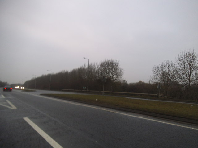
The A505, Totternhoe
 Map © Crown Copyright")
TIP: Click the map for more Large scale mapping
- Grid Square
- SP9722, 27 images (more nearby 🔍)
- Photographer
- David Howard (more nearby)
- Date Taken
- Saturday, 11 February, 2017 (more nearby)
- Submitted
- Saturday, 11 February, 2017
- Subject Location
-
OSGB36:
 SP 9705 2284 [10m precision]
WGS84: 51:53.7401N 0:35.4606W - Camera Location
-
OSGB36: SP 9707 2283
- View Direction
- West-northwest (about 292 degrees)