2017
SE7106 : Track across Hatfield Moors
taken 7 years ago, 3 km from Sandtoft, North Lincolnshire, England
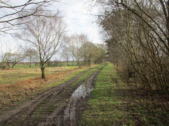
Track across Hatfield Moors
Farmland to the left, old peat workings to the right.
 Map © Crown Copyright")
TIP: Click the map for more Large scale mapping
- Grid Square
- SE7106, 18 images (more nearby 🔍)
- Photographer
- Jonathan Thacker (more nearby)
- Date Taken
- Thursday, 16 February, 2017 (more nearby)
- Submitted
- Thursday, 16 February, 2017
- Subject Location
-
OSGB36:
 SE 7191 0665 [10m precision]
WGS84: 53:33.0939N 0:54.9650W - Camera Location
-
OSGB36: SE 7168 0672
- View Direction
- East-southeast (about 112 degrees)