2017
SP2884 : Watery Lane
taken 7 years ago, near to Corley Moor, Warwickshire, England
This is 1 of 2 images, with title Watery Lane in this square
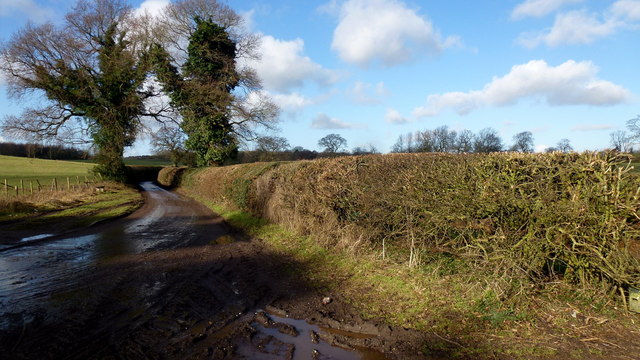
Watery Lane
More apt to name it Muddy Lane.
Looking towards Corley Moor.
Looking towards Corley Moor.
 Map © Crown Copyright")
TIP: Click the map for more Large scale mapping
- Grid Square
- SP2884, 16 images (more nearby 🔍)
- Photographer
- Jonathan Billinger (more nearby)
- Date Taken
- Tuesday, 7 February, 2017 (more nearby)
- Submitted
- Friday, 17 February, 2017
- Subject Location
-
OSGB36:
 SP 2811 8402 [10m precision]
WGS84: 52:27.2050N 1:35.2669W - Camera Location
-
OSGB36: SP 2817 8400
- View Direction
- West-northwest (about 292 degrees)