2017
SN8310 : Llwybr Ceffyl Onllwyn / Onllwyn Bridleway
taken 7 years ago, near to Onllwyn, Neath Port Talbot/Castell-Nedd Port Talbot, Wales
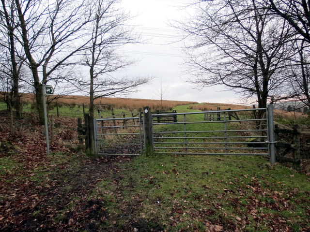
Llwybr Ceffyl Onllwyn / Onllwyn Bridleway
Llwybr ceffyl yn Onllwyn. Mae'r llwybr yn mesur oddeutu 5 milltir o hyd ac mae'n cwpla ym mhentre'r Creunant.
A bridleway at Onllwyn (trans. ashgrove). The path measures approximately 5 miles in length and terminates in Crynant village.
A bridleway at Onllwyn (trans. ashgrove). The path measures approximately 5 miles in length and terminates in Crynant village.
 Map © Crown Copyright")
TIP: Click the map for more Large scale mapping
- Grid Square
- SN8310, 36 images (more nearby 🔍)
- Photographer
- Alan Richards (more nearby)
- Date Taken
- Friday, 17 February, 2017 (more nearby)
- Submitted
- Friday, 17 February, 2017
- Subject Location
-
OSGB36:
 SN 8388 1016 [10m precision]
WGS84: 51:46.6813N 3:41.0737W - Camera Location
-
OSGB36: SN 8391 1017
- View Direction
- West-southwest (about 247 degrees)