2017
SE2510 : Albert Road - viewed from Ings Mill Drive
taken 7 years ago, near to Clayton West, Kirklees, England
This is 1 of 2 images, with title Albert Road - viewed from Ings Mill Drive in this square
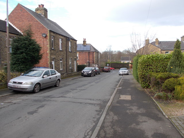
Albert Road - viewed from Ings Mill Drive
 Map © Crown Copyright")
TIP: Click the map for more Large scale mapping
- Grid Square
- SE2510, 100 images (more nearby 🔍)
- Photographer
- Betty Longbottom (more nearby)
- Date Taken
- Saturday, 18 February, 2017 (more nearby)
- Submitted
- Saturday, 18 February, 2017
- Subject Location
-
OSGB36:
 SE 2545 1099 [10m precision]
WGS84: 53:35.6923N 1:37.0171W - Camera Location
-
OSGB36: SE 2546 1098
- View Direction
- North-northwest (about 337 degrees)