2017
ST5820 : Track to Thorney Lane Farm
taken 7 years ago, near to Mudford, Somerset, England
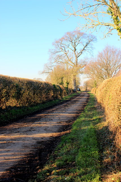
Track to Thorney Lane Farm
As might be guessed this is Thorney Lane, an ORPA which leads from Hummer to the farm and then on to the site of nether Adber and abandoned village.
 Map © Crown Copyright")
TIP: Click the map for more Large scale mapping
- Grid Square
- ST5820, 5 images (more nearby 🔍)
- Photographer
- Nigel Mykura (more nearby)
- Date Taken
- Thursday, 19 January, 2017 (more nearby)
- Submitted
- Sunday, 19 February, 2017
- Subject Location
-
OSGB36:
 ST 5881 2020 [10m precision]
WGS84: 50:58.7835N 2:35.2865W - Camera Location
-
OSGB36: ST 5886 2009
- View Direction
- North-northwest (about 337 degrees)