2016
H7738 : Disused farmstead outbuildings east of Middletown
taken 8 years ago, near to Middletown, Co Armagh, Northern Ireland
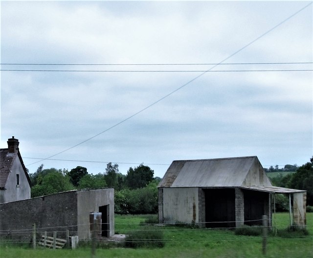
Disused farmstead outbuildings east of Middletown
These are in the Townland of Doogary.
Loading map... (JavaScript required)
- Grid Square
- H7738, 6 images (more nearby 🔍)
- Photographer
- Eric Jones (more nearby)
- Date Taken
- Saturday, 4 June, 2016 (more nearby)
- Submitted
- Wednesday, 22 February, 2017
- Subject Location
-
Irish:
 H 777 389 [100m precision]
WGS84: 54:17.6010N 6:48.3742W - Camera Location
-
Irish: H 777 389
- View Direction
- North-northwest (about 337 degrees)