2017
NS4079 : Rock beside a fence
taken 7 years ago, near to Bonhill, West Dunbartonshire, Scotland
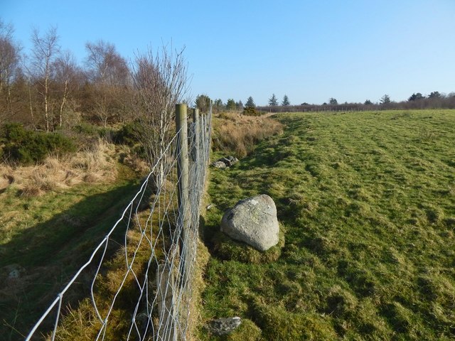
Rock beside a fence
The field to the right is probably associated with nearby NS4078 : Highdykes Farm. The land on the other side of the fence is part of the community woodland; the picture was, despite appearances, taken from that side.
The same rock can be seen in the distance in another picture, which is a view in the opposite direction along the same fence: NS4079 : Corner of a fence.
The same rock can be seen in the distance in another picture, which is a view in the opposite direction along the same fence: NS4079 : Corner of a fence.
 Map © Crown Copyright")
TIP: Click the map for more Large scale mapping
- Grid Square
- NS4079, 81 images (more nearby 🔍)
- Photographer
- Lairich Rig (more nearby)
- Date Taken
- Tuesday, 14 February, 2017 (more nearby)
- Submitted
- Thursday, 23 February, 2017
- Subject Location
-
OSGB36:
 NS 4089 7905 [10m precision]
WGS84: 55:58.6789N 4:33.0914W - Camera Location
-
OSGB36: NS 4089 7905
- View Direction
- EAST (about 90 degrees)