2016
TL6098 : River Wissey
taken 7 years ago, near to Ten Mile Bank, Norfolk, England
This is 1 of 3 images, with title River Wissey in this square
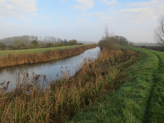
River Wissey
 Map © Crown Copyright")
TIP: Click the map for more Large scale mapping
- Grid Square
- TL6098, 17 images (more nearby 🔍)
- Photographer
- Hugh Venables (more nearby)
- Date Taken
- Saturday, 31 December, 2016 (more nearby)
- Submitted
- Thursday, 23 February, 2017
- Subject Location
-
OSGB36:
 TL 6041 9837 [10m precision]
WGS84: 52:33.5714N 0:21.8942E - Camera Location
-
OSGB36: TL 60353 98336
- View Direction
- Northeast (about 45 degrees)