2017
SP4391 : Sunloch Close, Burbage
taken 7 years ago, near to Burbage, Leicestershire, England
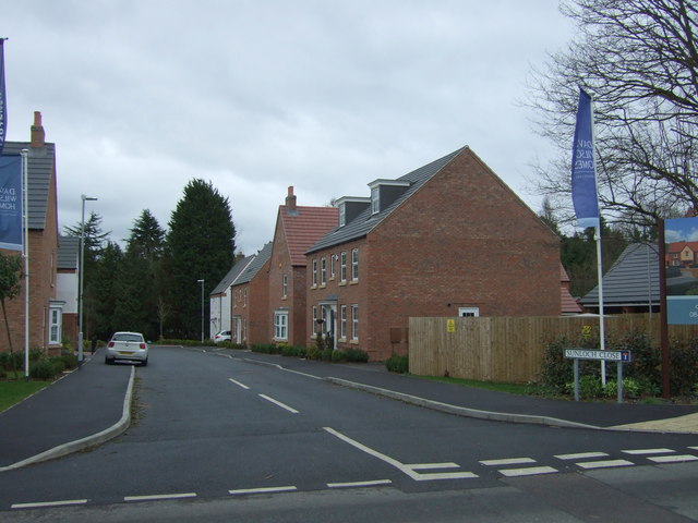
Sunloch Close, Burbage
New housing development off Three Pots Road.
 Map © Crown Copyright")
TIP: Click the map for more Large scale mapping
- Grid Square
- SP4391, 35 images (more nearby 🔍)
- Photographer
- JThomas (more nearby)
- Date Taken
- Saturday, 25 February, 2017 (more nearby)
- Submitted
- Sunday, 26 February, 2017
- Subject Location
-
OSGB36:
 SP 431 916 [100m precision]
WGS84: 52:31.2507N 1:21.8942W - Camera Location
-
OSGB36: SP 431 916
- View Direction
- SOUTH (about 180 degrees)