2017
SP4491 : Crop field towards Burbage House Farm
taken 7 years ago, near to Burbage, Leicestershire, England
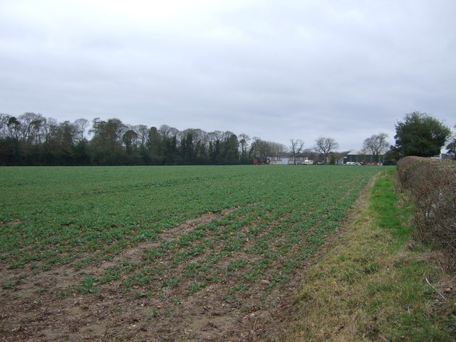
Crop field towards Burbage House Farm
Off Lutterworth Road (B578).
 Map © Crown Copyright")
TIP: Click the map for more Large scale mapping
- Grid Square
- SP4491, 16 images (more nearby 🔍)
- Photographer
- JThomas (more nearby)
- Date Taken
- Saturday, 25 February, 2017 (more nearby)
- Submitted
- Sunday, 26 February, 2017
- Subject Location
-
OSGB36:
 SP 4486 9142 [10m precision]
WGS84: 52:31.1294N 1:20.4193W - Camera Location
-
OSGB36: SP 44907 91473
- View Direction
- Southwest (about 225 degrees)