2017
NS4278 : Traces of a square structure
taken 7 years ago, near to Bonhill, West Dunbartonshire, Scotland
This is 1 of 2 images, with title Traces of a square structure in this square
Traces of a square structure
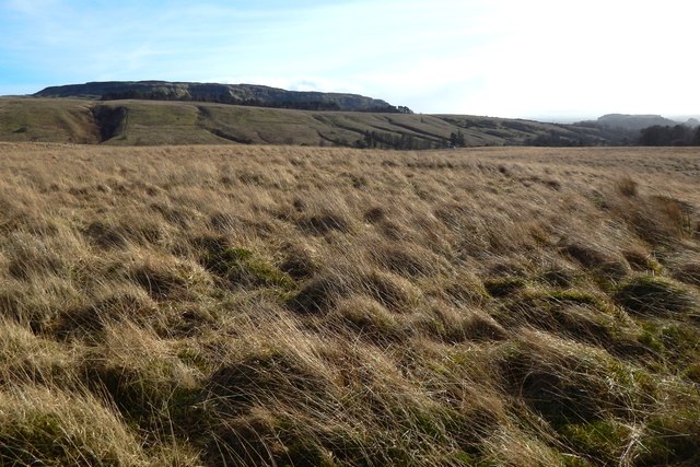
In some satellite imagery of this area, it is possible to discern the outlines of eight square structures, each about nine metres across, laid out in a regular pattern; see Link for a description.
They are, by most standards, difficult to pick out on satellite imagery, and even harder to see from the ground. Nevertheless, I was determined to find and photograph one of them; the present picture shows the one that proved to be most visible from ground level.
It is still hard to make out, but its interior is at the centre of the picture; the view is from one corner of the structure to the opposite corner.
For a view from near that opposite corner, see NS4278 : Traces of a square structure; some of the edges are a little more apparent from there.
Auchenreoch Starfish decoy :: NS4277
During the Second World War, so-called Starfish decoys were carefully designed to provide very convincing false targets for enemy bombers. See Link
(at Secret Scotland) for a full explanation; Link
 Map © Crown Copyright")
TIP: Click the map for more Large scale mapping
- Grid Square
- NS4278, 100 images (more nearby 🔍)
- Photographer
- Lairich Rig (more nearby)
- Date Taken
- Wednesday, 22 February, 2017 (more nearby)
- Submitted
- Thursday, 2 March, 2017
- Subject Location
-
OSGB36:
 NS 4203 7812 [10m precision]
WGS84: 55:58.2007N 4:31.9637W - Camera Location
-
OSGB36: NS 4203 7812
- View Direction
- SOUTH (about 180 degrees)