2017
SP6829 : Benchmark on #3 The Orchard
taken 7 years ago, near to Hillesden, Buckinghamshire, England
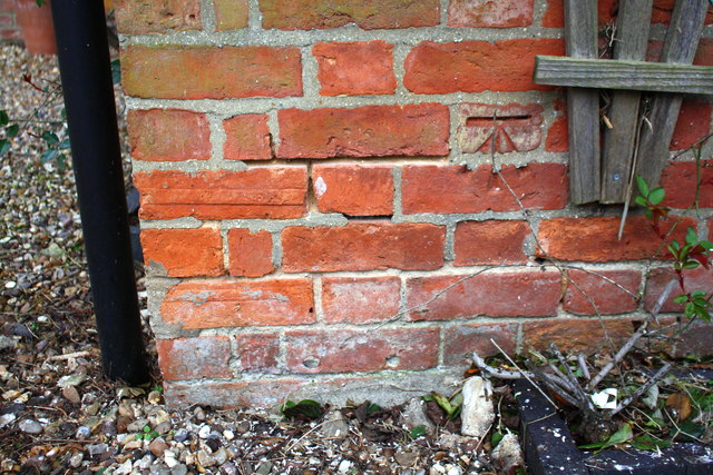
Benchmark on #3 The Orchard
Ordnance Survey cut mark benchmark described on the Bench Mark Database at Link
 Map © Crown Copyright")
TIP: Click the map for more Large scale mapping
- Grid Square
- SP6829, 15 images (more nearby 🔍)
- Photographer
- Roger Templeman (more nearby)
- Date Taken
- Thursday, 2 March, 2017 (more nearby)
- Submitted
- Tuesday, 7 March, 2017
- Subject Location
-
OSGB36:
 SP 6850 2915 [10m precision]
WGS84: 51:57.3976N 1:0.2749W - Camera Location
-
OSGB36: SP 6850 2915
- View Direction
- West-southwest (about 247 degrees)