2007
NT6203 : Forestry at Ravenburn
taken 17 years ago, 4 km SE of Hyndlee, Scottish Borders, Scotland
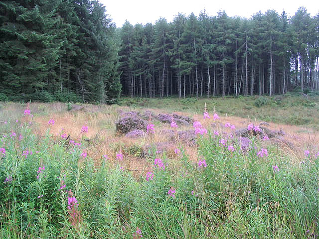
Forestry at Ravenburn
 Map © Crown Copyright")
TIP: Click the map for more Large scale mapping
- Grid Square
- NT6203, 4 images (more nearby 🔍)
- Photographer
- Walter Baxter (more nearby)
- Date Taken
- Sunday, 19 August, 2007 (more nearby)
- Submitted
- Monday, 20 August, 2007
- Subject Location
-
OSGB36:
 NT 6219 0382 [10m precision]
WGS84: 55:19.6186N 2:35.8477W - Camera Location
-
OSGB36: NT 6221 0389
- View Direction
- South-southwest (about 202 degrees)